

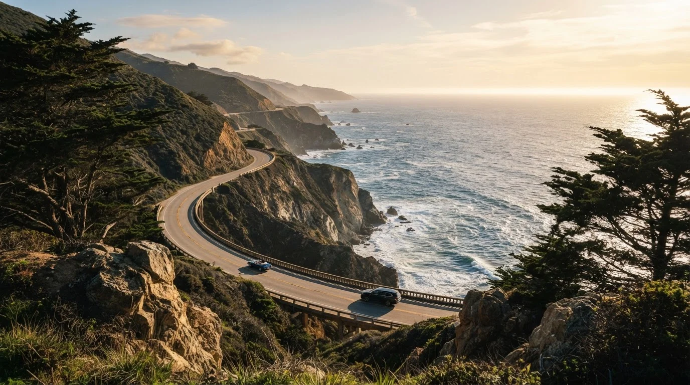
The Case for Slowing Down
California's Highway 1 - the stretch most travelers call the Pacific Coast Highway - runs roughly 655 miles along one of the most visually dramatic coastlines in the world. It's a route many people attempt in a single day, racing from Los Angeles to San Francisco or vice versa, treating it more like an expressway than an experience. That's a mistake.
The PCH rewards patience. Its best moments - elephant seal colonies at Piedras Blancas, the amber cliffs of Julia Pfeiffer Burns State Park, the wild beaches north of Morro Bay - can't be absorbed at freeway speeds. They require you to pull over, breathe the salt air, and let the landscape sink in.
“The road is there, it will always be there. You just have to decide when to take it.”
— Robert Pirsig, Author of 'Zen and the Art of Motorcycle Maintenance'
Best Practices for Driving the PCH the Right Way
The following practices aren't just suggestions - they're the difference between a forgettable road trip and one you'll talk about for years.
Break the route into multi-day segments rather than attempting it in one push.
The PCH is approximately 655 miles long. Driving it in a single day means spending most of your time in the car rather than at the places that make it legendary. Multi-day pacing allows you to explore trails, beaches, and viewpoints that are invisible from a moving vehicle.
Build in unscheduled stop time - at least 90 minutes per day beyond planned activities.
The PCH's most memorable encounters are often spontaneous: a sea otter floating in a kelp bed, a pull-off with an unmarked view that stops your breath. Rigid itineraries leave no room for serendipity, which is half the point of a scenic drive.
Drive the route northbound (south to north) where possible.
Northbound drivers have the ocean on their left - the side facing the water - making it easier for the driver to glance at views without craning across traffic. Pull-offs and turnouts are also generally easier to access from the ocean-side lane.
Park the car and walk at every major stop - don't just slow-roll through.
Many of the PCH's signature experiences - tide pools, beach access, vista trails - require a short walk. The scenery from inside a car, even a slow one, is fundamentally different from the sensory experience of standing on a cliff or touching cold Pacific water.
Travel during shoulder season (spring or fall) to avoid peak summer congestion.
Summer weekends bring heavy traffic to the PCH, particularly through Big Sur and Malibu, which can turn scenic driving into stop-and-go frustration. Shoulder seasons offer similar scenery with significantly fewer vehicles and more available parking at popular stops.
Quick Wins Before You Hit the Road
You don't need months of preparation to have an exceptional PCH drive. A few smart moves in the days before you leave can dramatically improve your experience.
Remember: conditions on the PCH can change quickly. Coastal fog, rockslides, and seasonal closures are all real possibilities. Always verify current road status through the California Department of Transportation (Caltrans) before departing, and check the National Park Service site for any closures in Big Sur or other protected areas along your route.
Timing, Light, and the Art of Not Rushing
Experienced PCH travelers will tell you that the highway looks completely different depending on the hour. Morning fog burning off the cliffs near Carmel creates an almost mystical atmosphere. Late afternoon turns the water at Pfeiffer Beach into shades of deep violet and gold. These aren't effects you can photograph at noon while eating a drive-through lunch.
655 mi
Total length of California's Highway 1
According to the California Department of Transportation, Highway 1 spans approximately 655 miles along the California coast.
3-5 days
Recommended days to drive the full PCH
Most experienced road-trip planners and travel guides suggest a minimum of three to five days to experience the full route meaningfully.
Consider breaking the full route into two or three days minimum, with overnight stays in towns like Cambria, Carmel-by-the-Sea, or Morro Bay. This isn't just about scenery - it's about safety. The PCH has stretches of narrow, winding road where fatigue is a genuine hazard. Rest well, drive alert, and your experience will be richer and safer for it.
Note: This article provides general travel information and inspiration. Always verify road conditions, entry requirements for state parks, and local advisories through official government sources before traveling. Drive within posted speed limits and follow all traffic laws.
The content provided on our blog site traverses numerous categories, offering readers valuable and practical information. Readers can use the editorial team’s research and data to gain more insights into their topics of interest. However, they are requested not to treat the articles as conclusive. The website team cannot be held responsible for differences in data or inaccuracies found across other platforms. Please also note that the site might also miss out on various schemes and offers available that the readers may find more beneficial than the ones we cover.